Over the weekend I was in a race with a severe thunderstorm. I guess it was fitting for the last day of summer.
The forecast called for thunderstorms to arrive in the wee hours of the following morning, but sometimes mother nature doesn’t follow the weather forecast.
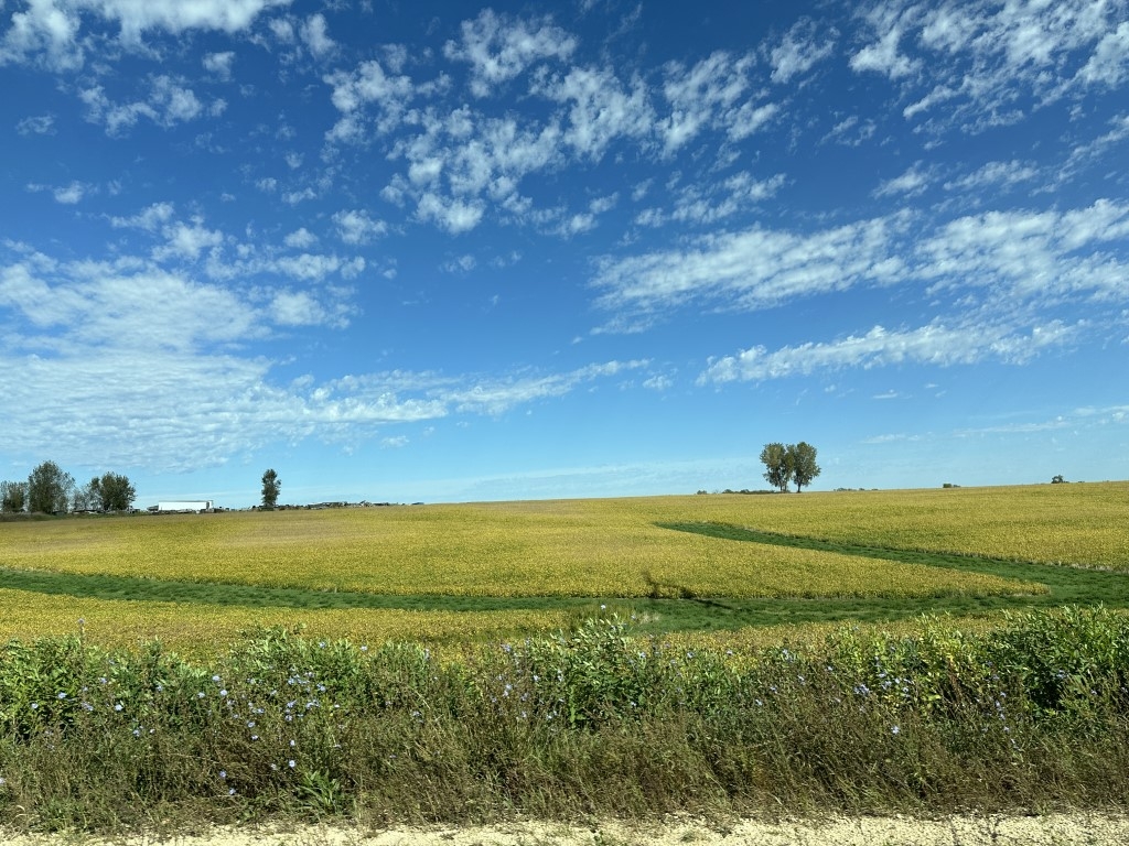
My friend Jill and I wanted to visit some of our favorite places in Wisconsin’s Driftless region. Mid-morning there was blue sky with just a smattering of gauzy clouds.
But after lunch at a favorite restaurant, we could hear thunder in the distance.
Then the sky started showing weird cloud striations.
According to the weather radar, all the storms were well north of our location and would miss us.
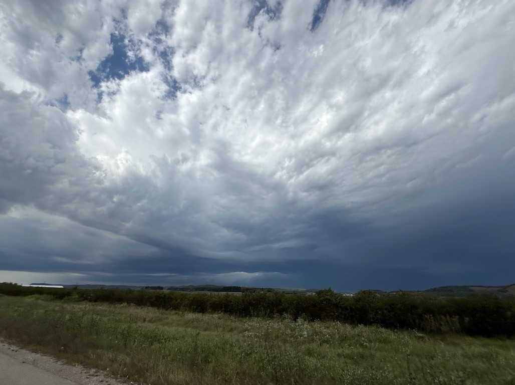
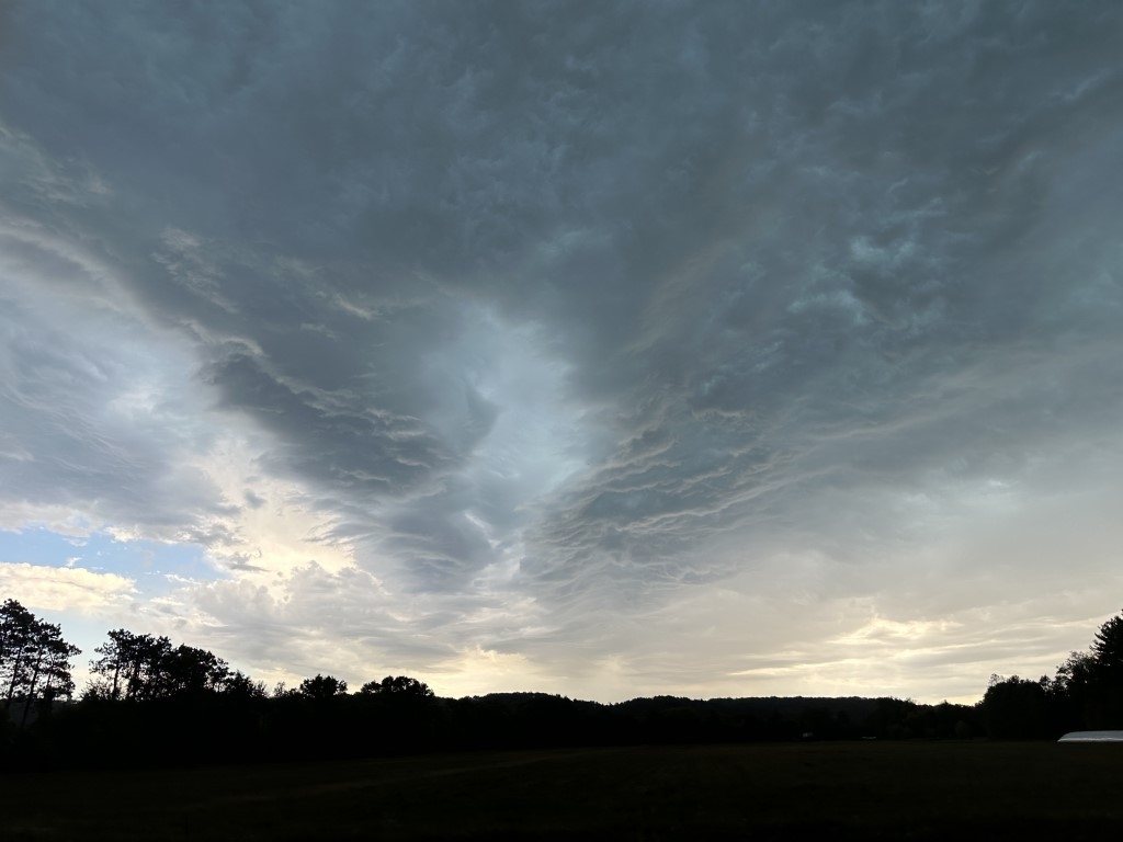
We continued on to visit a local produce stand. When we got back to the parking lot after making our purchases, it looked like this above our heads:
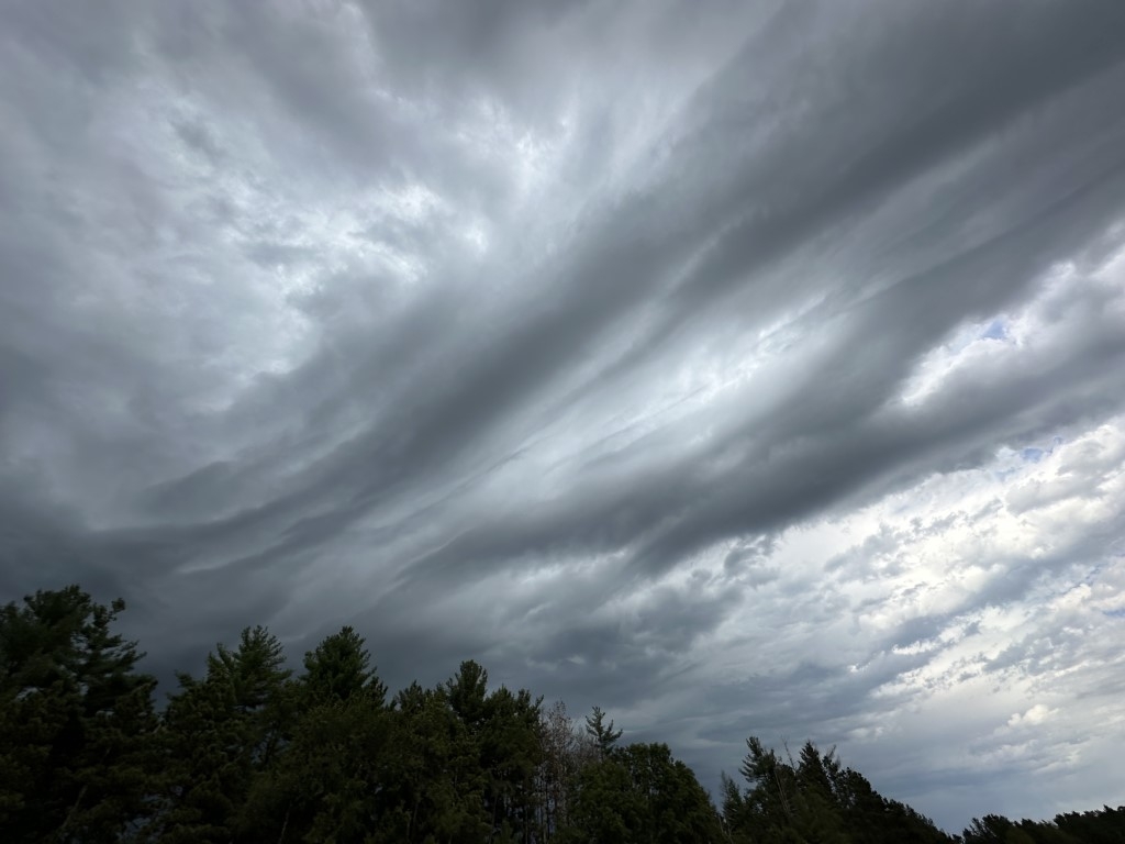
Mother nature was clearly up to something, and that’s when we probably should’ve headed back home—about 45 minutes away. But those clouds were so interesting!
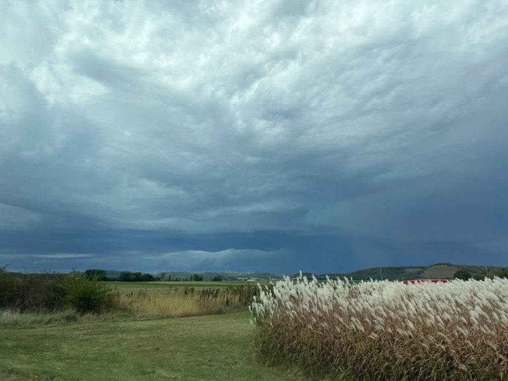
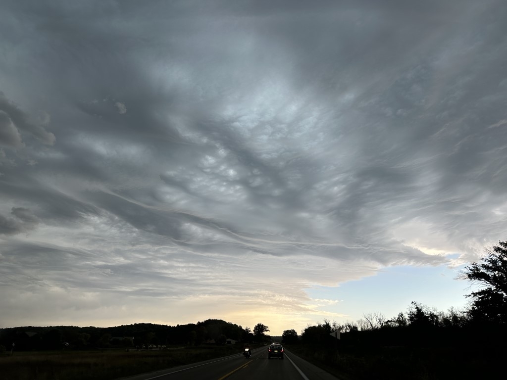
We drove a half-mile and turned north and parked along a county road to snap a few more photos.
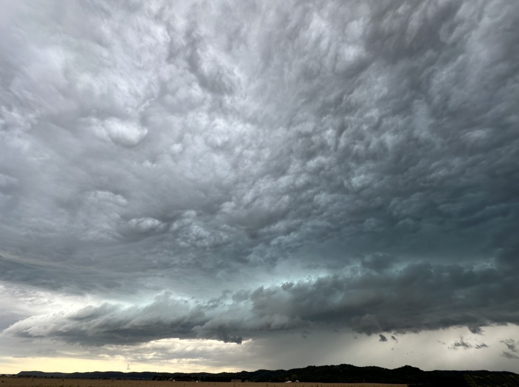
The colors were amazing and varied depending on which direction you looked!
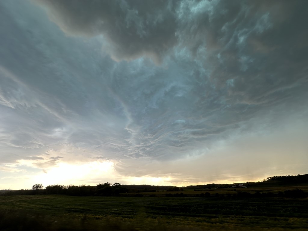
At one point Jill said, “See that line of lower clouds? It’s moving straight for us.”
We whipped out our phones again to check the weather radar, and sure enough, another band had formed and was moving toward us. Just then my phone sent me a half-dozen alerts about a severe thunderstorm heading to our location.
We got back on the highway and tried to stay ahead of the storm, but in an area where people usually love to speed, suddenly everyone was out for a leisurely Sunday drive. At times the cars in front of us were going 10 miles under the speed limit which wasn’t going to keep us ahead of the storm.
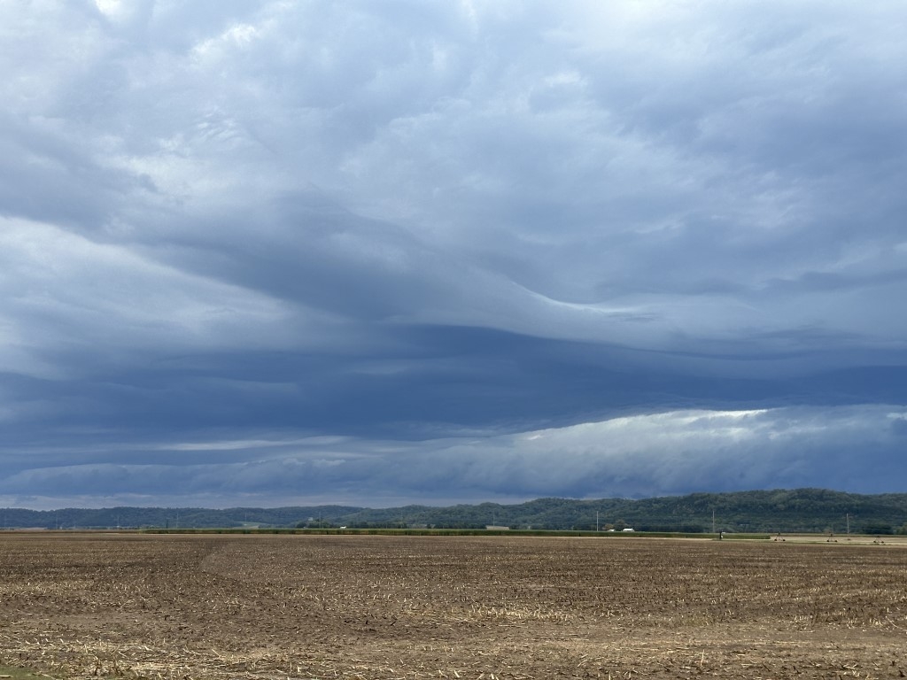
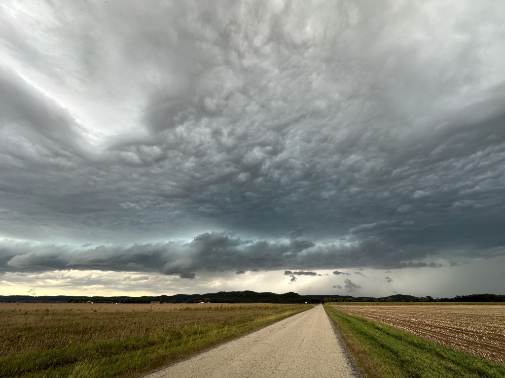
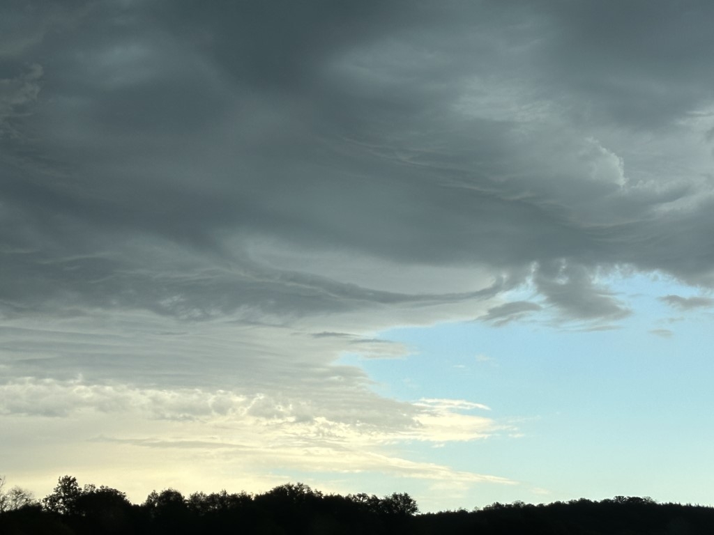
It sprinkled on us for most of the trip, and the winds were whipping leaves around everywhere as we continued to try to stay ahead of that gust front.
The cloud formations continued to impress as it got darker and darker.
We celebrated when we finally arrived at the outskirts of our city. But then we got tied up for a bit in standstill traffic on the main highway.
Despite all that, Jill was able to drop me off in my driveway just as the gust front and loud claps of thunder had arrived.
A local meteorologist was visiting his grandmother very near where we took those photos on the rural road. He shared storm damage photos online and reported to the National Weather Service that his location had suffered a microburst—a downdraft from a thunderstorm that can cause high winds and damage. Good thing we left when we did!
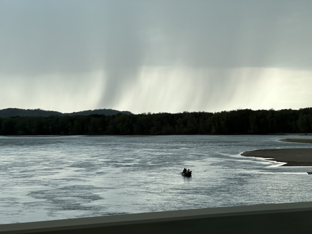
And because the forecast didn’t call for any thunderstorms during the day, a lot of people were doing fair weather summer activities for a Saturday like fishing or swimming in the Wisconsin River or taking a motorcycle ride on the scenic roads.
Hopefully they stayed ahead of that storm as well!